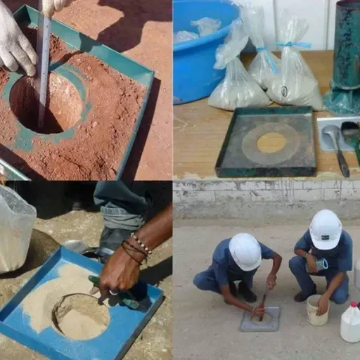
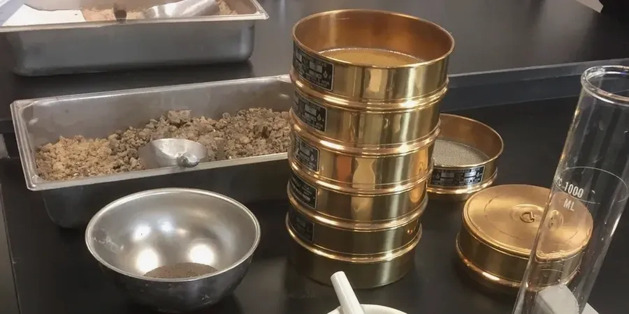
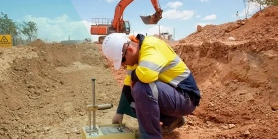
The subtle transition from the hard Austin Chalk to the west into the expansive Blackland Prairie clays defines the subsurface of Garland. You don't get uniform shaking here. A site near Duck Creek on quaternary alluvium responds entirely differently than one anchored in the Eagle Ford Shale just a mile south. Our laboratory executes seismic microzonation studies that quantify these contrasts. We don't rely on regional default coefficients. We measure the shear wave velocity profile, classify the soil column per ASTM D2487, and build a site response model that feeds directly into the structural engineer's base shear calculations. The growing density of industrial parks along the President George Bush Turnpike demands this level of precision, and our team works with drill crews across Dallas County to capture the data that defines the hazard.
Site class in Garland can shift from C to D within 300 feet. That changes your design spectrum from 0.85 to 1.60 at short periods. We measure it.